
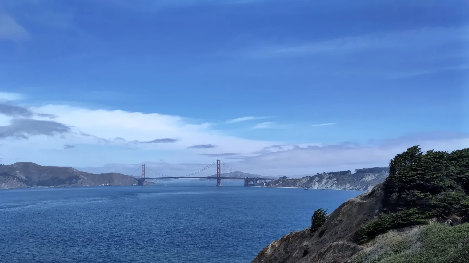
The western edge of San Francisco changes the scale of a city day. Streets that felt dense begin to open toward cypress, dunes, bluffs, and the Pacific. The air can cool, wind can rise, and distant views can disappear behind fog even when eastern neighborhoods remain clear. A good route treats those conditions as the character of the place, not as a failed version of a sunny postcard.
This slow day connects three related environments—Lands End, the Presidio coast, and Ocean Beach—without pretending they must all fit. Choose one as the anchor, one as an optional extension, and keep a direct route back. The National Park Service and responsible local agencies are the sources for live trail, facility, weather, and access information.
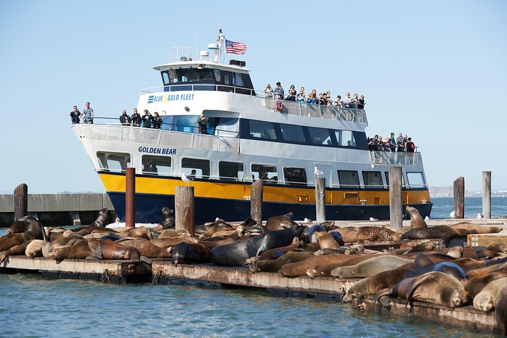
San Francisco Bay Cruise
You haven’t fully experienced San Francisco until you’ve taken a Bay Cruise. This popular 1-hour excursion heads underneath the Golden Gate Bridge...
Choose the anchor before choosing the order
Lands End is a bluff-and-trail experience where coastal views, cypress, maritime history, and the city’s northwestern edge meet. The Presidio covers a much larger landscape with former military sites, habitats, trails, cultural institutions, overlooks, and connections toward the Golden Gate. Ocean Beach is a long Pacific threshold where horizon, surf, wind, and the western street grid come together.
They are connected conceptually, but not every combination is efficient or comfortable. If a trail is your anchor, give it the best light and energy of the day. If the beach is your release, make sure you are comfortable with the evening transit connection and temperature. If an indoor Presidio institution matters most, build the outside sequence around its current access rather than squeezing it between distant photo stops.

Lands End: let the trail determine the pace
Start by checking the National Park Service’s current conditions and map. Coastal trails can include stairs, uneven surfaces, narrow sections, roots, mud, erosion, and sustained changes in elevation. A viewpoint that looks close on a flat map may require more effort than expected. Turn around when the route stops fitting; a shorter walk is not an incomplete visit.
The most useful visual clues are broad: the relationship between bluff and water, vegetation shaped by wind, glimpses of the Golden Gate, and the way fog changes distance. Stay on designated routes, respect closures and restoration, and avoid stepping into fragile areas for an unobstructed photograph. The landscape is not an empty balcony over the ocean.
Carry a layer that blocks wind, water, and enough battery for current maps. Do not rely on cellular service or a single screenshot for a critical access decision. If you need a restroom, bench, step-free connection, or specific surface, verify it in advance through official information.
The Presidio: select one landscape thread
The Presidio is too large and varied for a single “see it all” loop. Choose one thread: coastal bluffs and overlooks; ecology and restored habitat; architectural and military layers; public art or a cultural institution; or a connection between forest, field, and bay. That thread gives you a reason to pass through the large spaces between destinations.
Its natural mosaic includes dunes, grassland, woodland, scrub, wet areas, and shoreline shaped by wind and fog. Those systems are more specific than a generic “urban park.” Read interpretive material, follow restoration guidance, and remember that former military landscapes also hold complex histories that a scenic frame cannot summarize.
Transit within and around the Presidio can change. Check the responsible official operators rather than assuming a familiar stop or shuttle pattern. If a precise return is important, identify a backup before you walk away from the main connection.
Ocean Beach: arrive without demanding a sunset
Ocean Beach works as a long release because it asks for fewer decisions. The grid ends; sound expands; visibility may stretch or collapse. It can be bright, foggy, windy, cold, or some combination within one visit. Dress for the exposed shore rather than the conditions at your starting point.

The Pacific here deserves serious respect. Cold water, powerful surf, and changing conditions are not reduced by a calm-looking photograph. Follow posted warnings and official safety guidance. Do not frame swimming as a casual activity or position yourself near moving water for an image.
When fog obscures the horizon, look closer: dune vegetation, the line of the seawall, sand moving across a path, street lamps, shorebirds observed at a respectful distance, or the avenues descending toward the ocean. The day does not need a glowing finish to be visually complete.
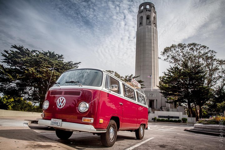
Vantigo - The Original San Francisco VW Bus Tour
Looking for an authentic San Francisco experience? Trade the tour bus for a vintage Volkswagen van that easily navig...

San Francisco to Muir Woods Shuttle
We are the only company in San Francisco offering a round-trip, direct shuttle from San Francisco to the majestic Re...

San Francisco Love Tour
For an unforgettable City Sightseeing tour, hitch a ride in a 1970's VW Hippie bus. This is an authentic and unique...
A flexible sequence
- Morning anchor: take the trail, institution, or Presidio landscape that matters most while your energy and visibility are useful.
- Sheltered pause: stop indoors or on a commercial corridor for food, warmth, and a conditions check.
- Optional extension: add a second coastal environment only if the transit and weather still make sense.
- Pacific release: use Ocean Beach as an ending, then take a direct route rather than retracing a tired climb.
Keep the western neighborhoods in the picture
The Richmond and Sunset are not simply corridors to parkland and water. Their commercial streets, restaurants, schools, libraries, places of worship, and homes are part of the western city. A useful coastal day includes ordinary neighborhood time: a meal near the route, a bookstore, a bakery, or a transit wait where you notice how the avenues meet the horizon.
Do not describe the area as empty, remote, or undiscovered. Quieter than downtown is not the same as uninhabited. Make purchases because a place genuinely fits the day, keep residential entrances clear, and avoid photographing people through windows or treating homes as a color study.
Live conditions first

Muir Woods and Sausalito Small Group Tour
This tour will visit Muir Woods and Sausalito. Note that this tour includes the Muir Woods entrance fee. We provide...

San Francisco Excursion: Guided Tour to Muir Woods and Sausalito
Experience the awe and wonder of one of California's oldest redwood groves as you stroll through dedicated paths o...

Alcatraz Inside Access Ferry and Audio Tour with Night Option
Explore Alcatraz Island like never before with this exclusive package that includes official admission and round-tri...
San Francisco Bay Cruise
You haven’t fully experienced San Francisco until you’ve taken a Bay Cruise. This popular 1-hour excursion heads underneath the Golden Gate Bridge...

SF: Hop-on Hop-off Sightseeing Tour by Open-top Bus
See San Francisco’s top sights the easy way with Big Bus Tours. We offer the most comprehensive tour with over 17...
Check the National Park Service Lands End page and broader Golden Gate National Recreation Area visitor information for current notices. Use official transit information for the outbound and return route. This guide intentionally does not repeat hours, fares, or a fixed trail status.
SF: Hop-on Hop-off Sightseeing Tour by Open-top Bus
See San Francisco’s top sights the easy way with Big Bus Tours. We offer the most comprehensive tour with over 17 hop-on hop-off locations spanning...