A Neighborhood-First Guide to San Francisco: Read the City One Hill at a Time
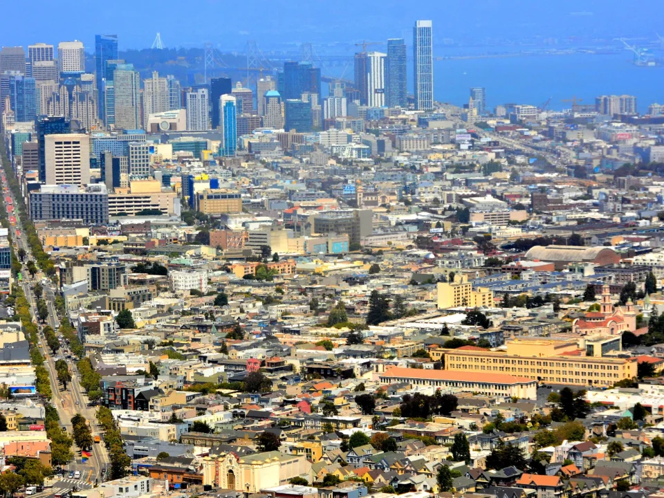
A practical method for grouping neighborhoods, reading grade and exposure, using transit well, and leaving room for the city to redirect the day.
Read the field guide Go Where the Grid Gives Way.
Field desk · updated by publication date
This field desk is organized by publication date and by five practical lenses. Neighborhood guides explain context and connections; food and culture stories center living people and institutions; coast and park routes make room for weather; transit and walk guides treat access and grade honestly; practical planning pieces help an itinerary survive real conditions.
Every guide avoids live prices and fixed schedules. Confirm operating details with the official park, transit, venue, or provider page before setting out.
A practical method for grouping neighborhoods, reading grade and exposure, using transit well, and leaving room for the city to redirect the day.
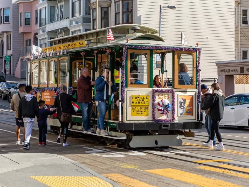
Read the field guideChoose a cable-car ride by the neighborhoods it connects, understand the engineering, and pair it with a measured street-level route.
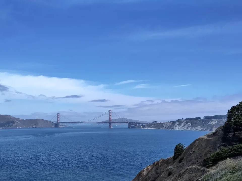
Read the field guideBuild a flexible coastal day around one anchor, live conditions, realistic access, and the western neighborhoods between park and ocean.
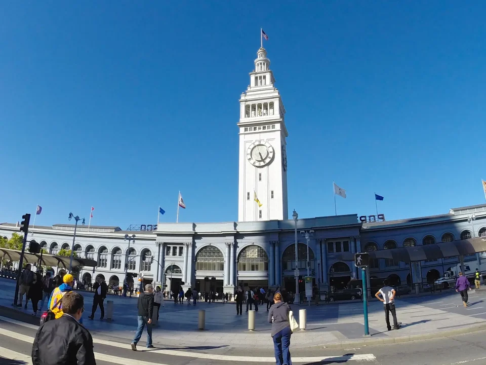
Read the field guideConnect one Market Street anchor to a deliberate Mission corridor without reducing businesses, murals, or cultural districts to scenery.
Read the field guideA resilient planning framework for microclimates, hills, live information, access needs, budgets, and a first day with margin.
Read the field guide