
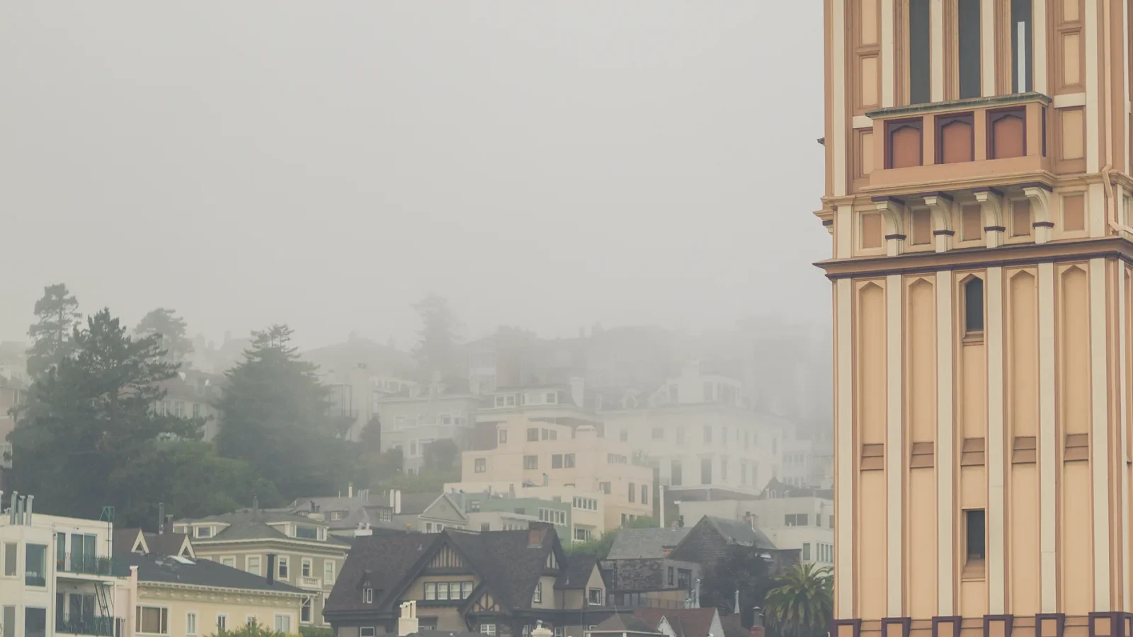
San Francisco looks compact enough to improvise. On a map, the distance between the bay and the Pacific seems manageable; major sights sit only a few neighborhoods apart. On the street, the city continually renegotiates that map. A ridge interrupts the grid. A bus follows a gentler seam. Fog changes the temperature and erases a distant landmark. A commercial corridor becomes quieter, steeper, more residential, or more exposed to wind within a handful of blocks.
The useful first skill is therefore not memorizing a list. It is learning how to read the city’s transitions. This neighborhood-first guide gives you a planning method that works whether you have one day or a week, prefer long walks or short transit hops, and care most about architecture, food, parks, culture, or the view from an ordinary corner.
Begin with conditions, not attractions
Before choosing a route, look at three conditions: grade, exposure, and connection. Grade determines whether a short line on the map is an easy walk, a sustained climb, or a descent you may not want to reverse. Exposure distinguishes a sheltered eastern street from a windy ridge or cool western shore. Connection asks whether transit carries you naturally into the next place or forces a detour.
Those conditions are not reasons to avoid the city. They are compositional tools. A steep block can be the reveal at the end of a gentler approach. A foggy western afternoon can be the right moment for a museum, café, neighborhood cinema, or slow park walk. A ferry or rail ride can become the horizontal pause between dense street sequences.
A five-minute map check
Put the places you care about into one map, but do not connect them yet. Turn on terrain if your map supports it. Identify the nearest major transit line and the water or park edge. Then group the places that share a corridor or slope. A coherent cluster is more valuable than a route that merely touches the greatest number of pins.
| Condition | Question | Useful response |
|---|---|---|
| Grade | Does the short map line hide a climb, stairs, or a difficult return? | Use terrain, choose a gentler seam, or make the climb the subject. |
| Exposure | Will wind, fog, or a long open edge change comfort and visibility? | Carry a layer and keep a sheltered alternative in the same area. |
| Connection | Does transit link the actual entrances rather than only nearby map points? | Verify the live operator route and keep one simpler return. |
- Build the shared anchor first.
- Name the one place the group would still value on its own.
- Confirm the responsible source for access and current operation.
- Add only the transitions that clarify the city.
- Choose one approach street or transit arrival.
- Choose one park, water edge, or direct line that releases the day.
Understand the peninsula as a set of edges
Downtown and the northeastern waterfront occupy one kind of edge: a bay-facing gateway shaped by ferries, piers, markets, offices, dense transit, and a strong line along the Embarcadero. The western side meets the Pacific with longer horizons, dunes, wind, surf, and residential avenues. The northern coast folds around bluffs, former military ground, marinas, and the Golden Gate. The southeastern waterfront has its own industrial and maritime histories, public spaces, and neighborhoods that should not be treated as scenery between the airport and downtown.
Between those edges, ridges and valleys create smaller worlds. Market Street follows a major diagonal seam. The Mission and Valencia corridors sit in a sunnier valley more often than the western neighborhoods, though no microclimate is guaranteed. Twin Peaks and the central hills divide views and transit patterns. Golden Gate Park forms a broad green interruption that reaches toward Ocean Beach.
You do not need to master every boundary. The point is to notice that “nearby” has several meanings. Two places may be close in distance but separated by a grade; far apart on the street grid but joined by a direct train; or visually related across the bay without a useful pedestrian connection.


San Francisco Love Tour
For an unforgettable City Sightseeing tour, hitch a ride in a 1970's VW Hippie bus. This is an authentic and unique...

Alcatraz Inside Access Ferry and Audio Tour with Night Option
Explore Alcatraz Island like never before with this exclusive package that includes official admission and round-tri...
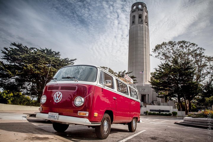
Vantigo - The Original San Francisco VW Bus Tour
Looking for an authentic San Francisco experience? Trade the tour bus for a vintage Volkswagen van that easily navig...
Build one day around one anchor and two transitions
Choose one anchor that deserves unhurried time: a museum, a park landscape, a market, a cultural institution, a long meal, an architectural walk, or a waterfront route. Then choose two transitions rather than six additional attractions. A transition might be a walk from a transit stop through a named commercial corridor, a climb to a ridge, a ferry arrival, or the moment a dense street opens onto water.
This produces a simple rhythm: arrive, go deep, release. “Arrive” gives you orientation and practical needs. “Go deep” is the anchor. “Release” is a place with less pressure—a park, waterfront, bookstore, café, quiet street, or direct ride back. The rhythm makes room for a delayed train, a longer conversation, a line at lunch, or weather that turns the plan.
- Anchor: pick the experience you would still value if everything else dropped away.
- Approach: choose a street or transit arrival that teaches you where the anchor sits.
- Release: finish somewhere that reduces decisions and connects cleanly onward.
The northeastern city: use the waterfront as your ruler
The Ferry Building gives the northeastern city a strong orientation point. The bay is east; Market Street runs inland; the Embarcadero traces the water; hills rise as you move toward North Beach, Telegraph Hill, and Russian Hill. From this threshold you can make several coherent days, but trying to make all of them at once produces a blur.
One route can stay near the water, reading the working and civic layers of the piers before turning inland. Another can use the Ferry Building as the beginning of a food-and-public-space sequence. A third can climb toward older street patterns and hillside neighborhoods, but the climb should be the subject rather than an inconvenience hidden by the map.
Chinatown and North Beach are adjacent, yet they are not interchangeable stops on a themed stroll. Chinatown is a living neighborhood with businesses, associations, religious spaces, housing, family histories, language, and continuing political questions. North Beach has overlapping histories of immigration, nightlife, publishing, restaurants, and residential life. If you cross between them, pay attention to the transition rather than announcing that one culture ended at an invisible line.
Grant Avenue may be the most familiar visual route through Chinatown, but Stockton Street often communicates daily commerce more directly. That does not make one “touristy” and the other “authentic”; both serve real functions and both deserve ordinary street etiquette. Buy from a business because you want what it offers, keep entrances clear, ask before making a person the subject of a photograph, and avoid treating another language as graphic atmosphere.
The central city: follow the diagonal, then choose a side
Market Street is both a route and a divider. It links transit, civic spaces, retail, cultural institutions, and downtown, while streets south and north of it take on different scales and histories. Instead of crossing it repeatedly to collect landmarks, follow it long enough to understand the spine, then choose a deliberate turn.
South of Market is too large and varied to reduce to convention halls, lofts, nightlife, or technology offices. Blocks contain housing, museums, small businesses, Filipino cultural institutions, industrial remnants, social services, and major redevelopment. Name the specific part of SoMa you are visiting. A trip to Yerba Buena is not a complete portrait of the district, and a view from above cannot substitute for street context.
North of Market, civic and commercial routes can lead toward Union Square, Nob Hill, Tenderloin institutions, or the western additions. These areas sit close together and carry sharply different narratives. Do not turn visible hardship into an attraction or use it as evidence that an entire neighborhood is one thing. Choose destinations with a reason to be there, move with ordinary awareness, and support places you have intentionally sought out.
Still comparing Neighborhood First : Read City One Hill At Time?
Ask for tour ideas, hotel suggestions, or a simple trip plan that combines both.
Trip Helper
The Mission, Castro, and nearby hills: let the street tell you where you are
The Mission District is often compressed into murals, burritos, nightlife, and sunny weather. Each can be part of a visit, but none is permission to treat the district as a colorful stage. The neighborhood holds long Indigenous histories, Mexican and Central American community life, arts and organizing, businesses that have survived enormous pressure, newer residents, industrial streets, schools, housing, and a continual argument over belonging.
Choose a specific institution, business, park, or cultural route and learn who maintains it. If public art is central to your visit, seek artist and community context rather than using a mural as an anonymous backdrop. Calle 24 and other cultural-district work is about place-keeping, not merely branding. Descriptions should acknowledge that a district remains lived even when a visitor experiences it as an outing.
Valencia Street and Mission Street run close and feel different. Walking part of each makes that contrast legible. The Castro likewise deserves more than a rainbow photo: it is a living neighborhood and a site of queer history, activism, memorial, nightlife, business, and daily life. Connect places through what you are learning, not because an app suggests the shortest line.
Nearby hills offer releases from the corridor. Dolores Park, Corona Heights, Buena Vista, and other elevated or green spaces can reset the scale, but each comes with slope, wind, crowd, and access considerations. A view is strongest when it helps orient the streets you just traveled.

The western neighborhoods: do not mistake quiet for emptiness
As the grid moves toward the Pacific, the city often feels lower, wider, cooler, and more residential. The Richmond and Sunset districts contain busy commercial streets, schools, places of worship, restaurants, bakeries, bookstores, parks, and multigenerational communities. Golden Gate Park divides and connects them; the Presidio and Lands End shape the northwestern edge; Ocean Beach creates the long western horizon.
A western day works best when you resist constant crossing. Pair a park or museum anchor with one commercial corridor, then decide whether the ocean is an ending that fits the weather. Fog can be beautiful, but it can also reduce visibility and lower the temperature abruptly. Wind and surf conditions deserve respect. The beach is not guaranteed sunset theater, and cold water is not a casual swimming promise.
The scale encourages slower observation: dune planting, cypress silhouettes, modest storefronts, transit turning loops, avenues falling toward the water. These details are not less “San Francisco” than a skyline. They show how the peninsula meets a powerful coast.
The southeastern waterfront: include it with purpose
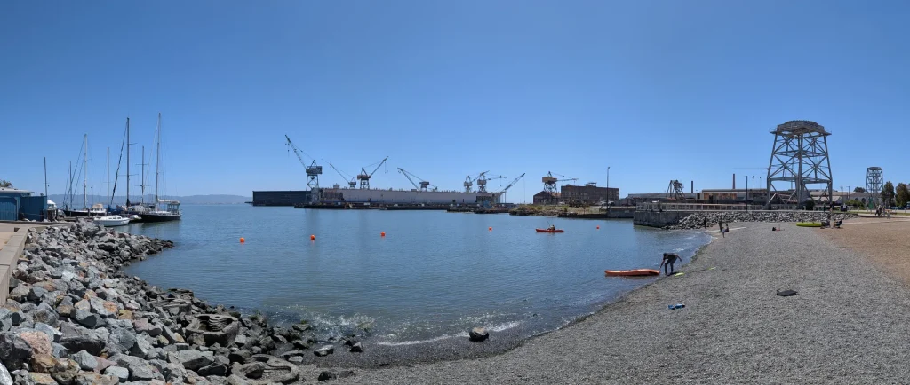
Crane Cove Park, Dogpatch, Potrero Hill, Bayview, Hunters Point, India Basin, and the wider southeastern city complicate the postcard geography. Industry, shipbuilding, migration, Black community histories, environmental questions, new housing, working waterfront uses, public parks, arts, and local businesses overlap. The area should not be introduced as a blank frontier that has suddenly become interesting.
If you go, choose a real destination and understand the transit connection home. Let a public waterfront space, library, local business, community event, or cultural organization be the reason—not a claim that you found a hidden neighborhood. Avoid aerial language that erases the people living in the streets below.

Muir Woods and Sausalito Small Group Tour
This tour will visit Muir Woods and Sausalito. Note that this tour includes the Muir Woods entrance fee. We provide...

San Francisco Excursion: Guided Tour to Muir Woods and Sausalito
Experience the awe and wonder of one of California's oldest redwood groves as you stroll through dedicated paths o...

Napa and Sonoma Half-Day Wine Tour with Guide and Tastings
Savor the flavors of California’s world-famous wine country on a relaxing half-day adventure from San Francisco. T...
Use transit to protect attention
Walking is one of the best ways to understand San Francisco, but “walkable” should not become a moral test. A bus over a ridge can protect time and energy for the neighborhood you meant to explore. Rail can remove a repetitive corridor. A ferry can supply orientation and rest. A cable car can make engineering and grade part of the experience, provided you check current operation and accessibility with SFMTA.
When comparing routes, look beyond arrival time. How far is the stop from your actual destination? Is the transfer exposed to wind or rain? Does the final walk descend now but climb later? Is an elevator or escalator essential to your access? Would a direct but slower line let you see the corridor and avoid a confusing transfer? The “best” route is the one that fits your body, attention, and margin.
Keep a backup that does not depend on one exact departure. Save the official transit information, carry enough battery to retrieve it, and know the name of a major street near your destination. When service changes, the city remains readable if you know the larger line.
Make access part of the route, not a footnote
Descriptions of a “short walk” often omit grade, surfaces, stairs, curb conditions, seating, shade, noise, and restroom access. Those details determine whether a route is usable. Official access pages, transit elevator status, park maps, and venue contacts are more reliable than a breezy adjective. If access is critical, confirm directly and keep an alternative.
Traveling with children, older adults, a mobility device, sensory needs, or variable energy changes the useful unit of a day. One anchor and a comfortable release may be a complete, rich itinerary. A playground, library, level promenade, sheltered café, or direct transit ride can be structural rather than filler.
The city also rewards pauses that cost nothing and prove nothing. Sit where the street changes direction. Watch a ferry arrive. Notice how bay windows catch light. Listen to a cable pass beneath a rail. Let the trip contain ordinary time.
Food and culture require context and room
A restaurant is not a token representing an entire community. A cultural district is not a style filter. A market is not simply a backdrop for close-up photographs. Before arriving, learn the name of the neighborhood and the institution, business, artist, or event you hope to visit. Follow its published photography and visitor guidance. Spend with intention when you can, and do not block commerce to make an image.
Build food stops into the actual geography of the day. Crossing the city for a single famous item may make sense if it matters deeply to you; otherwise, let the meal reveal the corridor around your anchor. Reservations and queues can reshape a route, so verify them without treating a popular venue as an entitlement.
A reusable neighborhood-first template
For each day, write six lines: the anchor; the arrival neighborhood; the approach street; the release; the easiest route home; and the condition that would make you change the plan. That condition might be heavy fog, high wind, a transit disruption, a steep grade that no longer feels right, or simply a place you want to stay longer.
Then remove one item. The deletion creates margin, and margin is what lets San Francisco become legible. You can notice the change in pavement, the moment a view opens, the difference between two adjacent corridors, and the civic or community context that a packed checklist would have turned into scenery.
The city’s grid is a promise of order. Its hills, water, fog, parks, and neighborhoods keep that promise from becoming monotonous.

SF: Hop-on Hop-off Sightseeing Tour by Open-top Bus
See San Francisco’s top sights the easy way with Big Bus Tours. We offer the most comprehensive tour with over 17...

Chinatown, North Beach, Little Italy: 7 Tastings & History
Spend an afternoon exploring two of San Francisco's vibrant areas for food and nightlife on a walking tour through C...
Vantigo - The Original San Francisco VW Bus Tour
Looking for an authentic San Francisco experience? Trade the tour bus for a vintage Volkswagen van that easily navig...
Start with a part of town rather than a famous object. Choose the route by grade, exposure, and connection. Go deep enough to recognize where you are, then let one edge—water, park, ridge, or a direct transit line—release the day. That is how a compact city becomes a series of meaningful choices instead of a race between pins.
Primary source desk
- San Francisco Travel neighborhood guide for official visitor orientation.
- City and County of San Francisco Cultural Districts Program for place-keeping context.
- SFMTA getting-around resources for current transit and accessibility information.
- Golden Gate National Recreation Area plan-your-visit resources for current park conditions.