
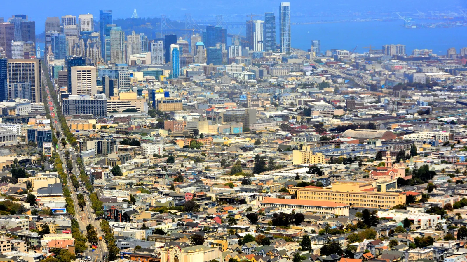
A first visit to San Francisco becomes easier when you plan for variation rather than trying to eliminate it. The city can be sunny on one side and foggy on another; a short distance can contain a steep grade; a familiar transit route can change because of construction or an event. The goal is not a perfectly optimized schedule. It is a day with enough structure to stay oriented and enough margin to adapt.
Pack for the coldest part of the route
Dress in layers you can remove and carry. A wind-resistant outer layer is often more useful than one very heavy item because exposure changes between sheltered streets, ridges, ferries, and the ocean. Comfortable footwear should match the surfaces and distances you actually intend to cover, not an idealized walking total.

SF: Hop-on Hop-off Sightseeing Tour by Open-top Bus
See San Francisco’s top sights the easy way with Big Bus Tours. We offer the most comprehensive tour with over 17 hop-on hop-off locations spanning...


Painted Ladies San Francisco City Tour
Come jump on a city tour with us to cruise through some of the 15 top city highlights including Union Square, Chinat...
Sun protection and water still matter on cool or foggy days. If you rely on medication, mobility equipment, charging, or a particular comfort item, keep it with you rather than assuming a quick return across town.
Group neighborhoods before naming sights
Write down your priorities, then mark the neighborhood for each. If the list spreads from the northeastern waterfront to the western shore, the Mission, and the Presidio in one day, split it. Choose one anchor and one adjacent or directly connected area. The city rewards depth because street-level transitions are part of the experience.
Use major transit lines as spines, but inspect the final blocks. A stop can be close while the destination sits above it. A downhill walk in the morning may become an uphill return. A route with one transfer may be easier than a slightly faster route with a long exposed connection.
Use water and parks as orientation
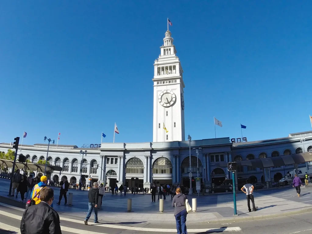
The Ferry Building and Embarcadero give you a clear bay edge. Golden Gate Park creates a broad east–west interruption. The Pacific establishes the western limit. The Presidio and Golden Gate define the northwestern coast. Even when fog removes a distant view, knowing which edge you are moving toward makes the street grid easier to read.
Do not use the Golden Gate Bridge as the answer to every orientation question. The bridge can disappear, appear from an unexpected street, or sit far from the route that actually serves your day. Water, slope, transit, and named streets are more dependable navigational relationships.
Keep live information in one place
Save the official source for transit, each major park or venue, and any provider booking. Do not build the day from screenshots of third-party summaries alone. A current official page can explain a closure, elevator issue, reservation, entry policy, or route change that a static article cannot.
Keep your booking confirmation with the provider’s name, not merely the reseller or article that introduced it. San Francisco Trip Guide cannot see or change a reservation. For tours and paid experiences, confirm the meeting point, local time, cancellation policy, accessibility, and contact method on the provider’s final page.
Plan access explicitly
If step-free travel, seating, lower noise, restroom access, service-animal information, captioning, or another accommodation is important, look for the venue or operator’s specific access page and contact it through an official channel when necessary. “Accessible” is not one universal condition. Historic transit vehicles, old buildings, trails, and temporary street work can create different constraints.
Leave more transfer time than a routing app’s ideal estimate when an elevator, platform change, crowd, or unfamiliar intersection matters. A taxi or rideshare may solve one grade without replacing the rest of a transit-based day. Use the combination that supports your actual experience.
Budget attention as well as money
Every reservation and cross-city move creates a deadline. Two timed anchors in different parts of town can turn the streets between them into stress. When possible, keep only one fixed commitment in a half day and make nearby stops flexible.
Costs change, so this guide does not quote fares or entry prices. A useful daily budget separates transit, food, admissions, and a buffer. Confirm current prices at the official source. Free public space can be a meaningful anchor, not merely a gap between paid attractions.

Alcatraz Inside Access Ferry and Audio Tour with Night Option
Explore Alcatraz Island like never before with this exclusive package that includes official admission and round-tri...

San Francisco Excursion: Guided Tour to Muir Woods and Sausalito
Experience the awe and wonder of one of California's oldest redwood groves as you stroll through dedicated paths o...

Yosemite Day Tour from San Francisco
Yosemite National Park is a must-visit California gem, and this day trip from San Francisco makes it easy. Leave the...
Know what not to photograph
Public visibility is not the same as invitation. Ask before making a person, worker, performer, or small business interior the subject. Follow museum, event, transit, park, and property rules. Do not use hardship, emergency response, or someone’s private moment as “street texture.” Identify public art and artist context before republishing it as a main image.
A resilient first-day template
- One orientation edge: bay, ocean, park, ridge, or a major transit spine.
- One neighborhood anchor: a place you genuinely want to understand, with adequate time.
- One meal zone: two possible businesses near the route, not across the city.
- One release: a park, waterfront, bookstore, café, library, or direct ride.
- One backup: an indoor or lower-effort option in the same area.
Review the day before adding to it
At the release point, ask whether the next stop adds a new understanding or only another pin. Check your energy, temperature, daylight, and route home. Staying longer can be the more ambitious choice because it allows the neighborhood to become more than an image.
A first visit does not need to explain all of San Francisco. It needs to establish a working relationship with the city: read the slope, know the edge, use transit without apology, treat living districts with respect, and keep enough margin for the grid to give way.
Official planning desk

Small-Group Wine Country Tour from San Francisco with Tastings
Beautiful Sonoma Valley is your destination on this laid-back, fun-filled, all-day tour. You will learn much about t...
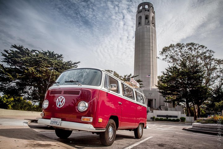
Vantigo - The Original San Francisco VW Bus Tour
Looking for an authentic San Francisco experience? Trade the tour bus for a vintage Volkswagen van that easily navig...

Muir Woods and Sausalito Tour (Return by Bus or Ferry)
Take time out from San Francisco on a half-day trip to Muir Woods National Park and Sausalito. This enthralling ha...
Skip The Bus: San Francisco By Luxury Van Tour
Avoid the crowds, confusion, and limitations of large buses and discover San Francisco by a luxury van. Trade the large tour bus for a guided luxu...
Painted Ladies San Francisco City Tour
Come jump on a city tour with us to cruise through some of the 15 top city highlights including Union Square, Chinat...
SF: Hop-on Hop-off Sightseeing Tour by Open-top Bus
See San Francisco’s top sights the easy way with Big Bus Tours. We offer the most comprehensive tour with over 17...
Use SFMTA for current transit, the National Park Service for Golden Gate National Recreation Area conditions, and each venue or provider’s own page for live operations. Recheck on the day of travel.